Description
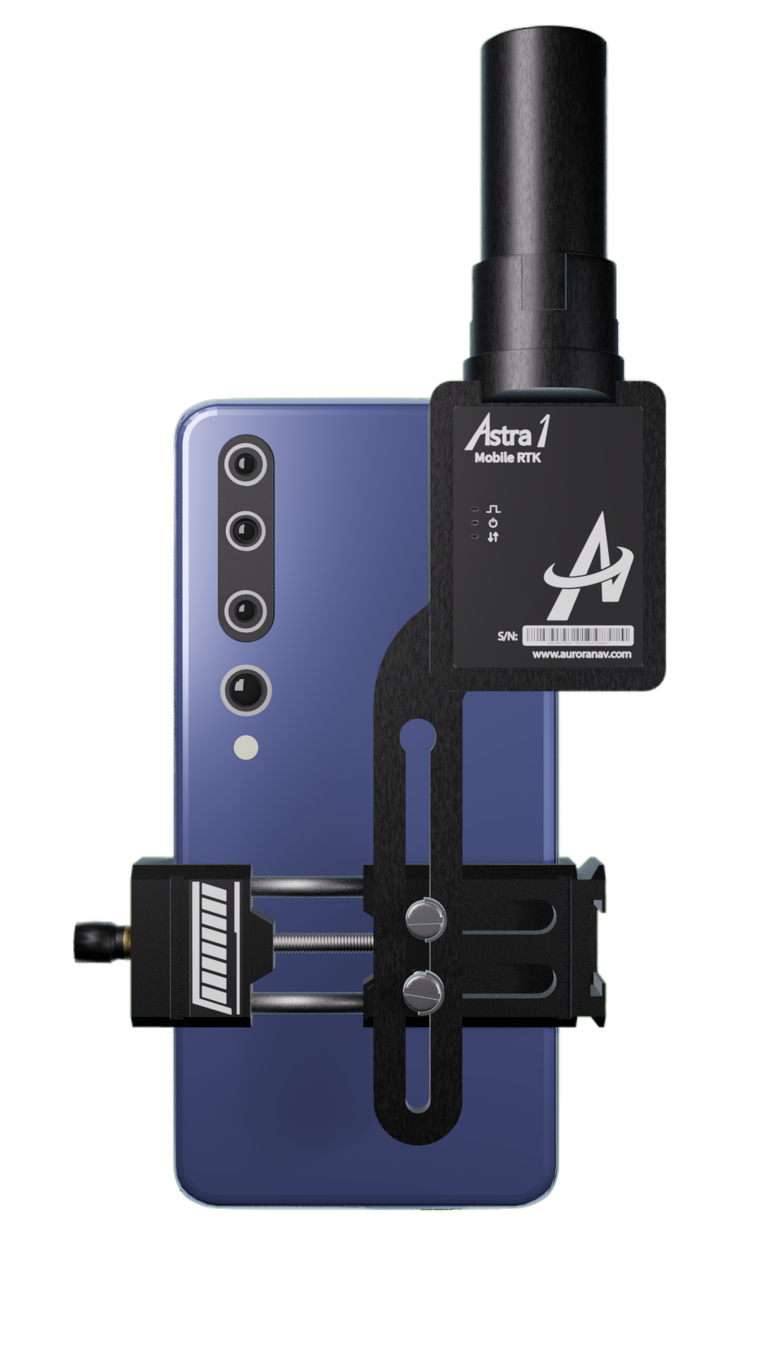
Handheld Cellphone RTK Receiver with Visual Positioning
AuroraNav Astra1 turns your cellphone into a handheld RTK GNSS receiver for fast, reliable centimeter-level positioning and professional 3D mapping even under challenging environments.
Lightweight, portable, and engineered for demanding fieldwork, Astra1 brings survey-grade accuracy to mapping, construction, agriculture, and everyday geospatial applications.
Accuracy You Can Trust
It’s more than an RTK

Photogrammetry
• Measure hard-to-reach or remote points.
• Geo-referenced 3D scanning.

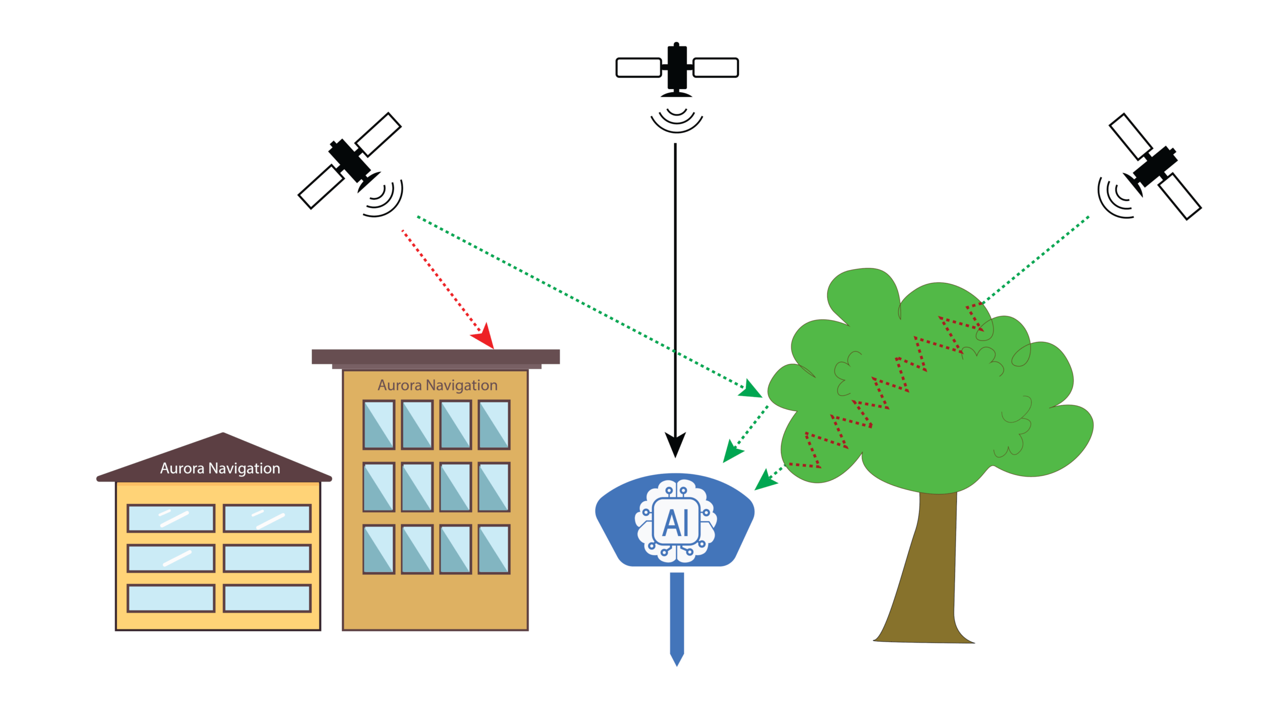
Reliable RTK with AI
• AI-driven bad signals filter out.
• Fast and reliable RTK fix in challenging environments.

Survey-Grade GNSS Performance
• 1408-channel survey-grade chip.
• All constellations, multiple frequencies.
• Up to 8mm horizontal accuracy.

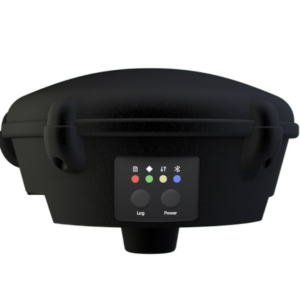
Ultra-Compact. Field-Ready
• Only 60g.
• Handheld matchbox-sized design.
• Built-in LoRa radio for operation without cellular network.
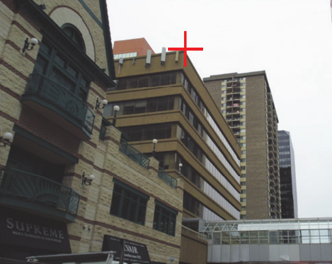
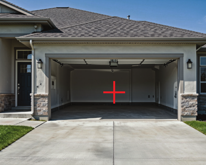
Photo Survey – A New Way to Measure What You Can’t Reach
Capture, select, remote points solved instantly with <4cm accuracy. [Demo videos]
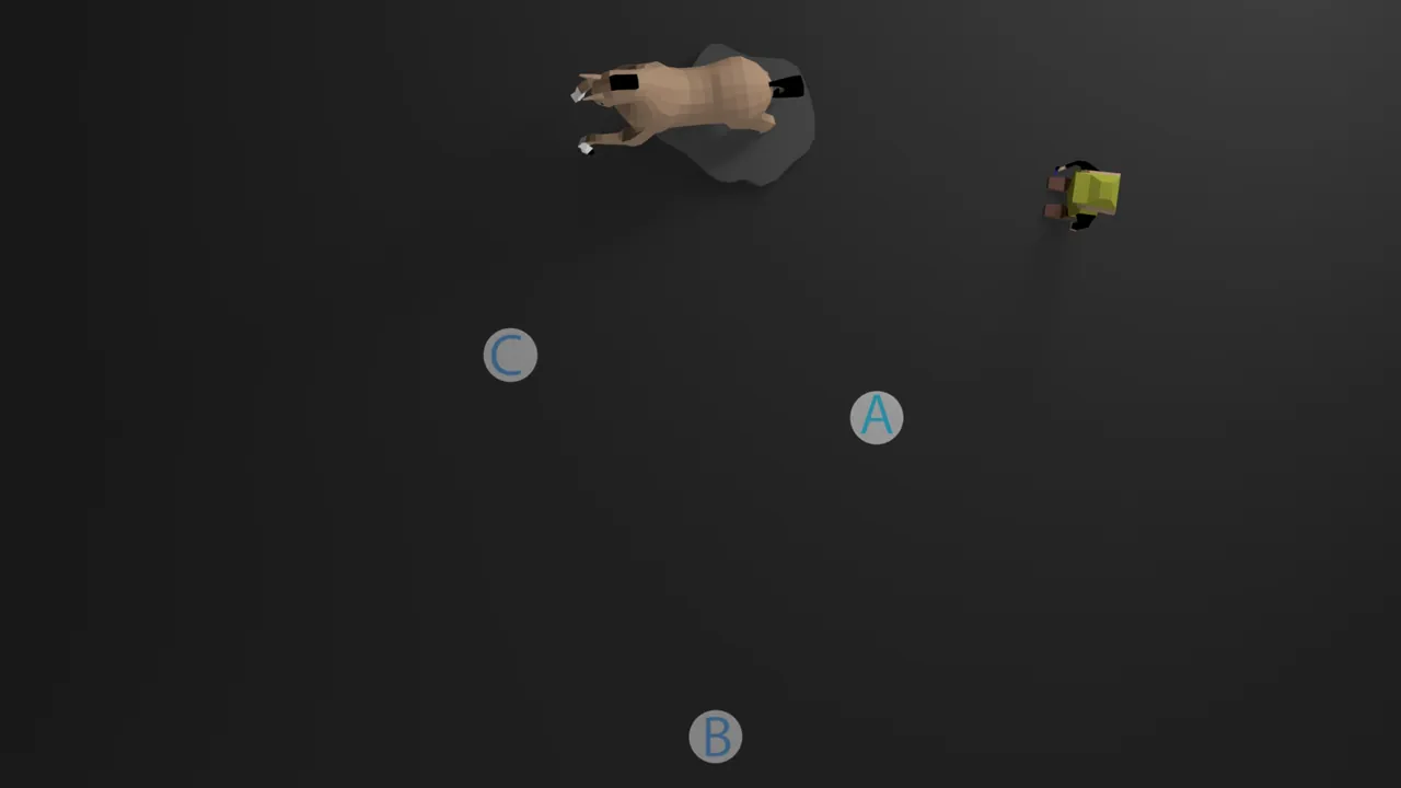
Ideal for

Hard-to-reach
Unsafe
Elevated
GNSS-challenged
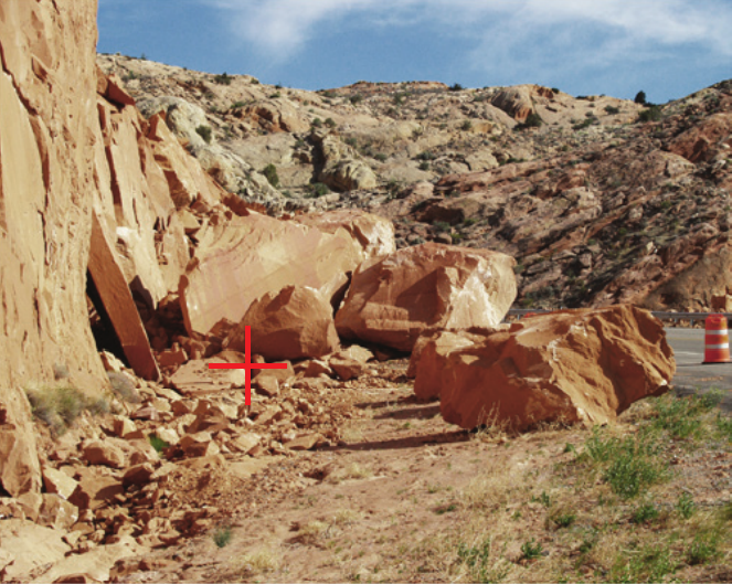
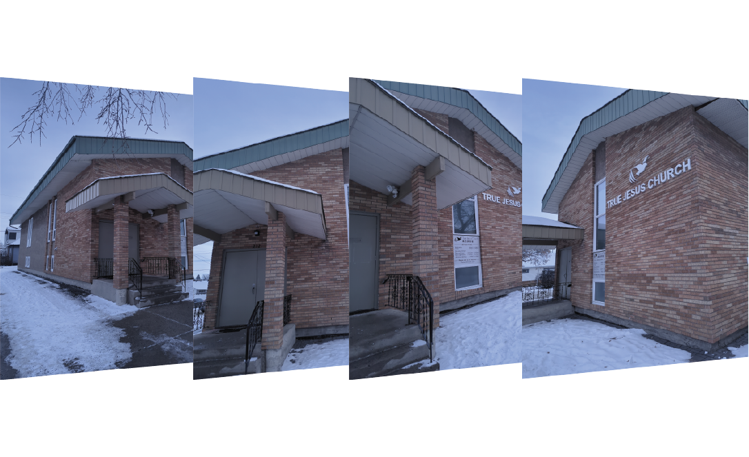
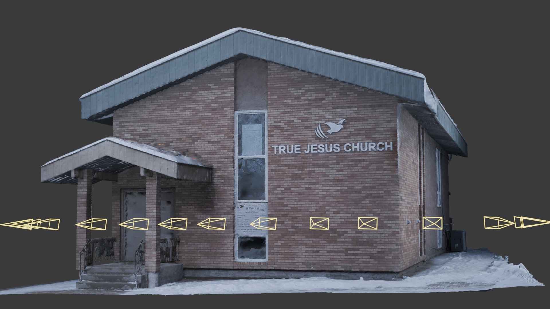
Georeferenced 3D scanning
Bring the whole site to your office digitally and precisely. No more revisit.
Capture complete 3D models with your cellphone, or recover missing surface geometry that a drone cannot observe. [Demo videos]

Stay Accurate with AI
AuroraNav Astra1 uses AI to filter out bad signals, so your measurements stay precise — even in tough spots like near buildings or trees.
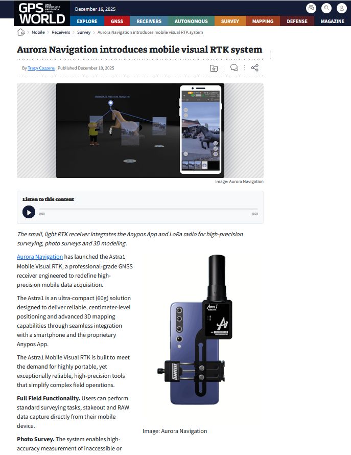
Astra1 Have Been Featured In.
Anypos: Unlock Full Potential of Your Device
A professional survey APP meets all your need
Georeferenced 3D Scanning
Capture Photos with Precise RTK coordinates
Building cm accuracy 3D models
Demonstration Videos
Photo survey demonstration
Photo survey accuracy test
Reality scan demonstration
Reality scan accuracy test
Reality scan demonstration
Need help? Contact our team
Whether you have a question before buying, or need help using our product, contact Aurora Navigation team and we will reach you as soon as possible.
FAQs
AuroraNav Astra1 features a built-in LoRa radio, allowing it to connect directly to the G1000 GNSS base station via long-range radio communication.
In addition, Astra1 also supports compatible base station that transmits RTCM data via NTRIP or TCP/IP connections.
AuroraNav Astra1 logs 1. Raw GNSS data (for PPK) 2. Device solution, including GNSS trajectory, orientation 3. Images captured with precise coordinates EXIF 4. Any other survey data generated by Anypos APP
Yes, Astra1 is rated to be IP67, working under -40 to 60 ℃.